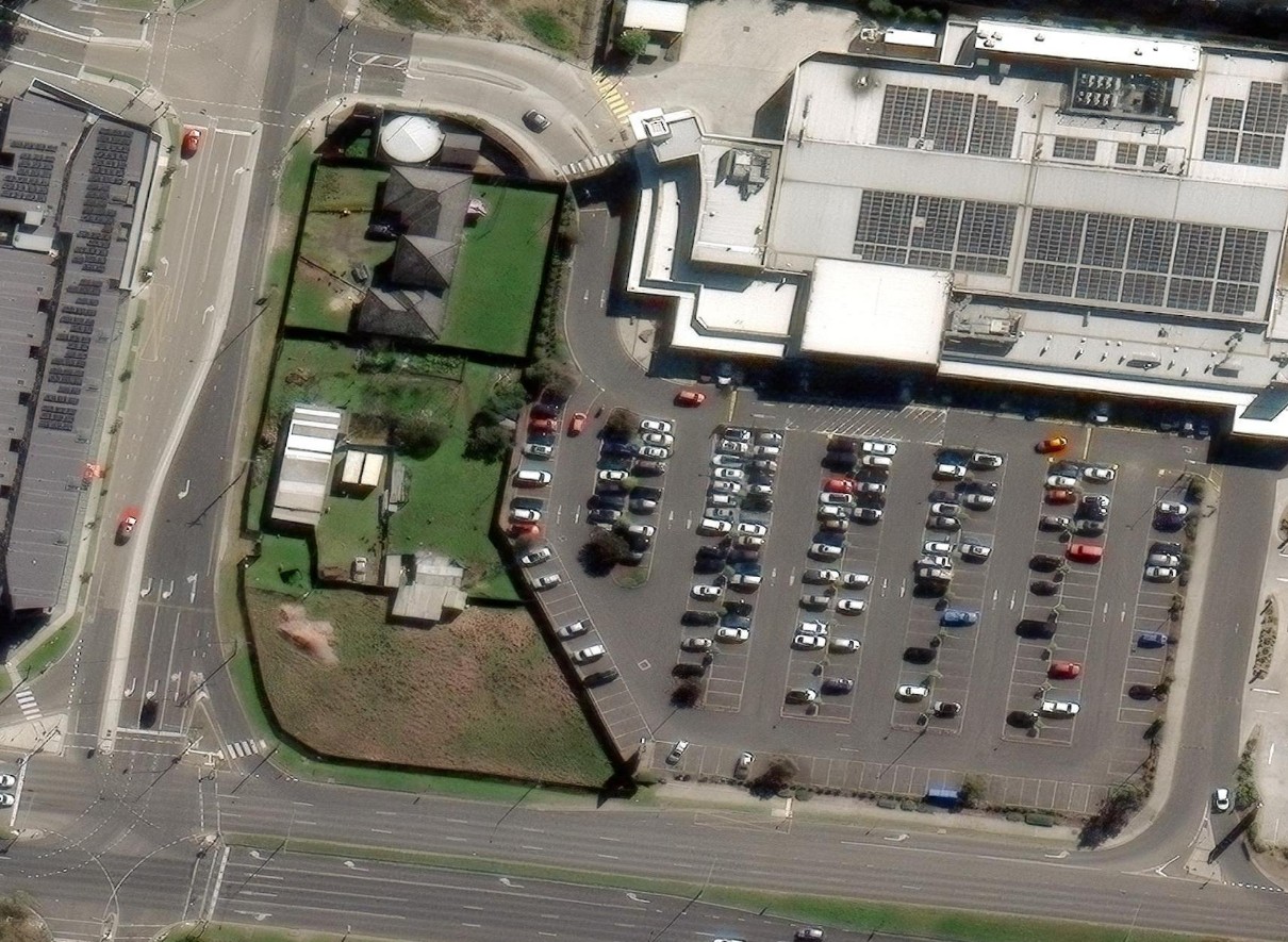
Aerial-View Solutions Ltd. delivers drone photogrammetry, surveying and mapping support for construction, infrastructure, land development and property projects. We provide orthomosaics, terrain models, 3D site data, volumetric reports and progress mapping to support planning, measurement, reporting and confident decision-making.
RTK and ground-control workflows
Georeferenced deliverables
Professional reporting
Responsive project mobilization
Typical outputs
Orthomosaics, DSMs, DTMs, contours, stockpile reports, 3D models and technical visual reports
Positioning
Professional field capture supported by disciplined geospatial processing.